ENVI Image Classification and Change Detection

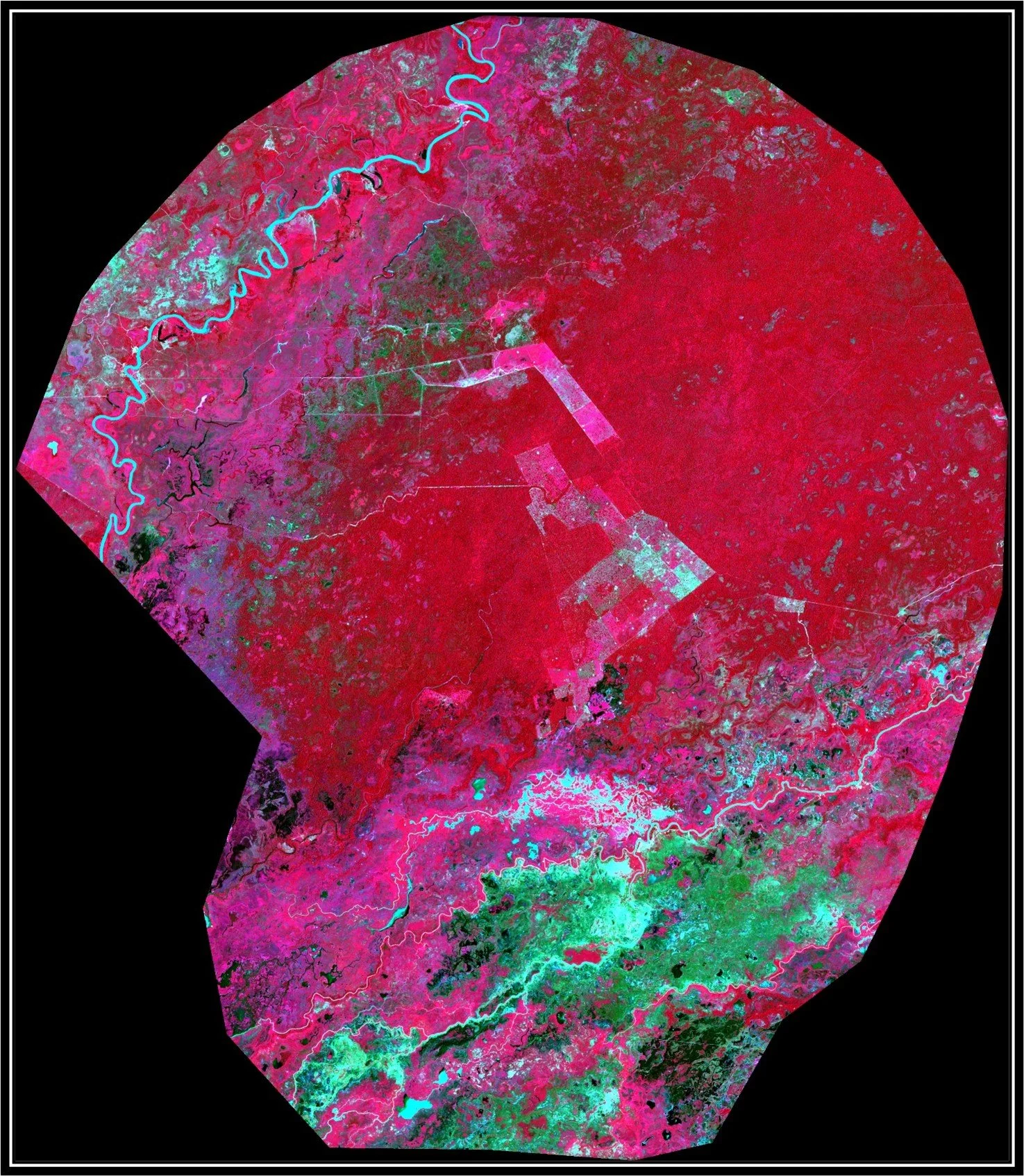
Corríxo Bebe River Sentinel-2 image, Brazil 2018
In the above image from, vegetation can be seen in red and pink while bare soil shows up as dark grey to white. Drainages and ponds can be seen in the southern region with good vegetative cover.
Corríxo Bebe River Sentinel-2 image, Brazil 2021
By 2021, impacts in the southern part of the image can clearly be seen. Vegetative cover has been removed causing heavy erosion and resulting turbidity. This clearing will almost certainly increase the ambient water temperature as well.

Corríxo Bebe River Land Cover Classification, Brazil 2018
Through image classification algorithms, we are able to quantify land cover types to calculate actual square miles and percentage of change. Roughly how much vegetation was lost can be calculated and tracked with unprecedented ease and precision.

Corríxo Bebe River Land Cover Classification, Brazil 2021
In the 2021 classification image, you can clearly see the dead scrub, open soil and water exposed by logging in the region.